 Analysis of Colorado setbacks on Fracktracker
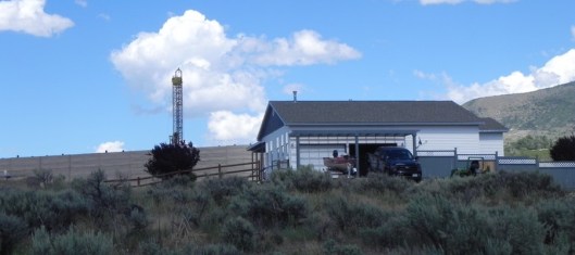
Weld County: A Closer Look
Weld County has experienced dramatic oil and gas development, with increasing infrastructure permitted closer and closer to residents’ homes and communities. Currently, there are over 12,200 directional wells in Weld County and over 35,300 wells in total. The map below uses data accessed from the COGGC on April 7th, 2016 and address points data from Weld County. The address points are located within the center of homes, and while setbacks distances are measured from the center of the well pad to the nearest wall of the building, the address points still demonstrate the proximity and danger of encroaching infrastructure. The map identifies directional wells permitted within the designated setback of 500 feet and the buffer zone of 1,000 feet and pending directional wells within proposed 1,000 and 2,500-foot setbacks.
http://maps.fractracker.org/latest/?appid=857b8a7106194e739e723b23ae8c4473
